Services

Land Use and Environmental Planning
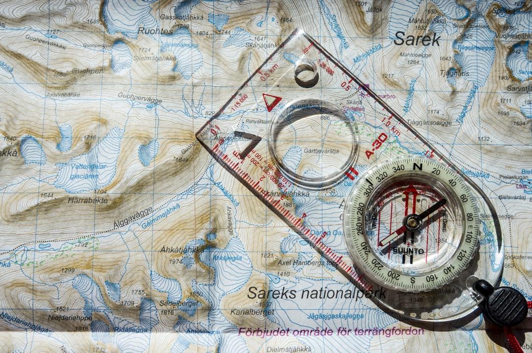
Creating detailed maps to assist in sustainable land use, conservation, zoning, and environmental impact assessments for urban planning or natural resource management.

Infrastructure and Utility Mapping
Mapping out utilities such as pipelines, electricity grids, and transportation networks to aid in infrastructure development, maintenance, and planning.

Environmental Services
Assynt GIS offers comprehensive environmental mapping and analysis, helping businesses and organizations make informed decisions for sustainable development. From habitat preservation to land use planning, our GIS solutions ensure environmental compliance and resource management efficiency.

Topographic and Elevation Mapping
Producing accurate topographic and elevation maps to support engineering projects, flood risk analysis, and outdoor recreation planning.

© 2026 | Privacy Policy
Croitanna, 127 Clachtoll, Clachtoll Lairg IV274LR
07422 574201
